The modern global economy is inextricably linked to the movement of goods across the world’s oceans. While the sea may appear as a vast, lawless expanse to the untrained eye, it is in fact one of the most strictly regulated and geographically defined environments on Earth. The predictable flow of trillions of dollars in trade depends on a delicate interplay of international law, environmental regulation, and the strategic management of narrow geographic corridors.
This report examines the three pillars that define the maritime world: the legal framework established by the United Nations Convention on the Law of the Sea (UNCLOS); the environmental mandates enforced through Emission Control Areas (ECAs); and the critical chokepoints that act as the arteries of global commerce. Understanding these elements is essential for anyone involved in maritime operations, logistics, or international geopolitics.
1. The Legal Framework: UNCLOS and the Division of Maritime Space
The ocean is not a “no man’s land.” Instead, it is a complex mosaic of jurisdictions. The primary instrument governing these boundaries is the United Nations Convention on the Law of the Sea (UNCLOS), often referred to as the “Constitution for the Oceans.”
Adopted in 1982 and entering into force in 1994, UNCLOS provides a comprehensive legal framework for all activities in the oceans and seas. It establishes the rights and responsibilities of nations in their use of the world’s oceans, including the protection and preservation of the marine environment, the management of living resources, and the regulation of navigation.
The fundamental principle of UNCLOS is the division of maritime space based on distance from a nation’s “baseline”—the line from which maritime zones are measured. These baselines are typically the low-water line along the coast, though they can be modified by straight baselines in certain geographic circumstances.
2. Maritime Zones and Jurisdictional Rights
The division of the ocean into distinct zones ensures a balance between the interests of coastal states (who seek to protect their resources and security) and flag states (who seek to maintain the freedom of navigation).
The following table summarizes the primary maritime zones recognized under UNCLOS:
| Maritime Zone | Distance from Baseline | Primary Jurisdiction & Rights | Level of Sovereignty |
|---|---|---|---|
| Internal Waters | Landward of the baseline | Full control over all activities, including regulation of all vessels. | Full Sovereignty |
| Territorial Sea | Up to 12 nautical miles (nm) | Sovereignty over the water, seabed, subsoil, and airspace. Subject to the right of Innocent Passage. | Full Sovereignty (with caveats) |
| Contiguous Zone | Up to 24 nautical miles (nm) | Enforcement of laws regarding customs, taxation, immigration, and sanitary (health) regulations. | Limited (Law Enforcement) |
| Exclusive Economic Zone (EEZ) | Up to 200 nautical miles (nm) | Sovereign rights for exploring, exploiting, conserving, and managing natural resources (living and non-living) in the water and on the seabed. | Sovereign Rights (Resource-focused) |
| High Seas (ABNJ) | Beyond the EEZ | Freedoms of navigation, overflight, fishing, scientific research, and laying of submarine cables/pipelines. | None (International Commons) |
The Nuances of Jurisdiction
It is a common misconception that a state’s “sovereignty” extends indefinitely into the ocean. In reality, there is a sharp distinction between sovereignty and sovereign rights.
- Sovereignty (found in Internal Waters and the Territorial Sea) implies near-absolute control. A coastal state can regulate almost everything, including environmental laws and security, provided they do not infringe upon the right of “innocent passage.”
- Innocent Passage is a critical legal concept. It allows foreign vessels to transit through a state’s territorial sea provided their passage is continuous, expeditious, and not prejudicial to the peace, good order, or security of the coastal state.
- Sovereign Rights (found in the EEZ and Continental Shelf) are much narrower. They do not grant the coastal state ownership of the water itself, but rather the exclusive right to the value derived from it—such as fishing rights, oil and gas extraction, and wind energy production.
3. Equivalent Control Areas (ECAs) and Environmental Regulation
As the shipping industry faces increasing pressure to decarbonize and reduce its environmental footprint, international regulation has shifted from mere safety to rigorous environmental compliance. The primary body responsible for these standards is the International Maritime Organization (IMO), through the MARPOL (International Convention for the Prevention of Pollution from Ships) treaty.
One of the most impactful regulatory mechanisms is the designation of Emission Control Areas (ECAs). These are specifically defined geographic regions where much stricter limits are placed on the emission of pollutants compared to the global standard.
Sulfur Oxide (SOx) and Particulate Matter (PM)
The most significant shift in recent years was the implementation of “IMO 2020,” which drastically reduced the allowable sulfur content in marine fuels.
- Global Standard: Outside of ECAs, the sulfur content in fuel oil is limited to 0.50% m/m (mass by mass).
- ECA Standard: Within designated ECAs, the limit is significantly lower at 0.10% m/m.
The primary goal of these limits is to reduce sulfur dioxide (SO2) and particulate matter (PM), which contribute to acid rain and respiratory health issues in coastal populations.
Nitrogen Oxides (NOx)
While sulfur regulations focus on the fuel, nitrogen oxide regulations focus on the engine technology itself. The IMO’s Tier III standards mandate that marine diesel engines operating in certain areas must meet much lower NOx emission limits. This is achieved through advanced technologies like Selective Catalytic Reduction (SCR) or Exhaust Gas Recirculation (EGR).
Key ECA Regions and Regulations
| Pollutant | Regulation | Standard | Primary Locations / Status |
|---|---|---|---|
| Sulfur (SOx) & PM | MARPOL Annex VI | 0.10% m/m | Baltic Sea, North Sea, North American ECA, US Caribbean Sea, and the Mediterranean Sea (as of May 2025). |
| Sulfur (SOx) & PM | MARPOL Annex VI | 0.50% m/m | Global (outside ECAs). |
| Nitrogen (NOx) | MARPOL Annex VI | Tier III | US and Canadian coasts, North Sea, Baltic Sea (for vessels built after specific dates). |
Note: Recent amendments (2024) have designated the Canadian Arctic and the Norwegian Sea as upcoming ECAs for SOx, NOx, and PM, with enforcement beginning in 2026/2027.
4. Global Shipping Routes and Maritime Corridors
The physical geography of the world dictates the movement of goods. While the ocean is vast, most commercial traffic is concentrated into specific “highways” that connect major production hubs (like East Asia) with major consumption centers (like Europe and North America).
Major Trade Lanes
- The Asia-Europe Route: The backbone of global container trade, primarily utilizing the Suez Canal.
- The Trans-Pacific Route: Connecting the manufacturing hubs of China, Japan, and Korea with the consumer markets of the US West Coast.
- The Trans-Atlantic Route: A mature route linking Europe with the US East Coast.
- The Intra-Asia Route: Increasingly vital as regional trade grows within the ASEAN and East Asian economies.
The “Ton-Mile” Concept and Rerouting
In maritime economics, efficiency is measured not just by distance, but by ton-miles (the amount of cargo carried multiplied by the distance traveled). When geopolitical or environmental factors force ships to take longer routes, the “ton-mile demand” increases. This effectively reduces the available global fleet capacity, as ships are tied up for longer durations, often leading to higher freight rates and increased carbon emissions due to the longer distances traveled.
5. Critical Maritime Chokepoints
A maritime chokepoint is a narrow passage or a constricted waterway that is essential for the transit of a significant volume of global trade. Because these points have few viable alternatives, they are highly sensitive to disruption from conflict, blockages, or environmental changes.
The Strategic “Big Five”
| Chokepoint | Primary Significance | Major Risks |
|---|---|---|
| Strait of Malacca | Connects the Indian and Pacific Oceans; the main artery for energy and goods moving between the Middle East/Africa and East Asia. | Piracy, congestion, narrow navigable channels. |
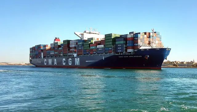
| Suez Canal / Red Sea | The shortest route between Europe and Asia via the Mediterranean and the Red Sea (including the Bab el-Mandeb). | Geopolitical conflict (e.g., Houthi attacks), canal blockages (e.g., Ever Given). |
| Strait of Hormuz | The world’s most critical energy chokepoint; connects the Persian Gulf to the Arabian Sea. | Geopolitical tension (Iran/Israel/US), military conflict, naval blockades. |
| Panama Canal | The primary shortcut between the Atlantic and Pacific Oceans. | Climate change (drought/water levels), mechanical failure, congestion. |
| Bab el-Mandeb | The “Gate of Tears”; the southern entrance to the Red Sea, vital for Suez Canal access. | Piracy, regional conflict, maritime insecurity. |
Detailed Profiles
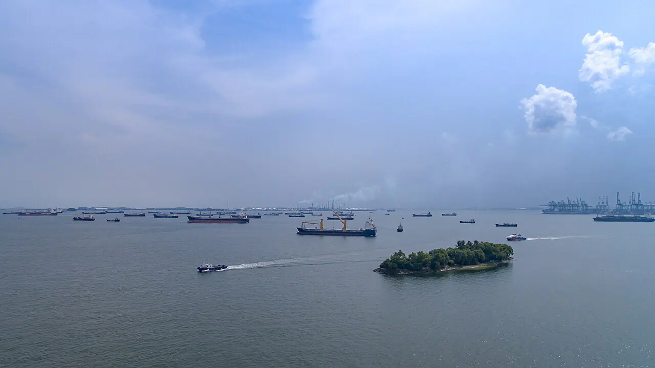
- Strait of Malacca: Often described as the world’s busiest shipping lane. It is the primary conduit for oil flowing from the Middle East to the massive economies of China, Japan, and South Korea.
- The Suez Canal & Red Sea: The Suez Canal is a man-made wonder, but its utility is entirely dependent on the security of the Red Sea. Recent instability in the Bab el-Mandeb has forced many carriers to bypass the Suez entirely, opting for the long detour around the Cape of Good Hope.
- Strait of Hormuz: Because much of the world’s oil and LNG (Liquefied Natural Gas) passes through this narrow gap, any perceived threat to its freedom of navigation can cause immediate shocks to global energy markets.
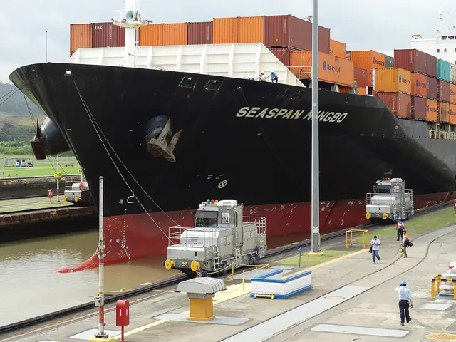
- Panama Canal: Unlike the Suez, which is at sea level, the Panama Canal uses a lock system to lift ships over the continental divide. Its biggest modern threat is climatic: extreme drought cycles (driven by El Niño) reduce the freshwater levels in Gatun Lake, forcing the Canal Authority to restrict vessel draft and transit frequency.
6. Geopolitical Tensions and the Redrawing of Trade Maps
In the mid-2020s, the maritime world has entered a period of intense volatility. The “just-in-time” global supply chain, built for efficiency and low cost, is being tested by a new era of “just-in-case” security and environmental resilience.
The Red Sea Crisis and Rerouting
The ongoing insecurity in the Red Sea (beginning in late 2023 and persisting through 2025) has fundamentally altered global routing. Attacks on commercial vessels in the Bab el-Mandeb have forced major shipping lines to reroute around the Cape of Good Hope in South Africa.
This rerouting has several profound consequences:
- Increased Costs: Longer distances mean significantly higher fuel consumption and labor costs.
- Increased Emissions: The extra distance traveled contributes to a rise in total maritime carbon emissions.
- Supply Chain Delays: Longer voyages disrupt the arrival schedules of container ships, leading to port congestion and inventory shortages.
The “Chokepoint Risk” in the Middle East
Geopolitical friction between major powers—particularly in the Persian Gulf and the South China Sea—remains a constant threat. A conflict in the Strait of Hormuz or the Taiwan Strait would not merely affect regional trade; it would cause an immediate, catastrophic disruption to the global energy and semiconductor supply chains.
7. Environmental Impacts and the Decarbonization Imperative
The maritime industry is facing a “double squeeze”: the need to move more goods efficiently while being forced to drastically reduce its environmental impact.
Climate Change and Infrastructure
The Panama Canal serves as a cautionary tale of how climate change directly impacts maritime infrastructure. As global weather patterns become more erratic, the availability of freshwater required for lock operations becomes a strategic vulnerability. This forces a rethink of vessel design, with more focus on “canal-ready” dimensions that can handle fluctuating drafts.
The Rise of Emissions Pricing
Beyond the IMO’s technical standards, economic tools are being used to drive change. The European Union’s Emissions Trading System (EU-ETS), which began covering maritime voyages in 2024, forces shipping companies to pay for their carbon emissions when calling at EU ports. This is fundamentally changing the economics of shipping, making “green” routes and low-carbon fuels more competitive.
8. Facts, Records, and Common Misconceptions
- Misconception: “The Exclusive Economic Zone (EEZ) is part of a nation’s sovereign territory.”
- Fact: The EEZ is a zone of sovereign rights for resources, but it is not territory. Foreign ships still enjoy freedoms of navigation and overflight, unlike in the Territorial Sea.
- Misconception: “The Suez Canal is the only way to get from Asia to Europe.”
- Fact: While it is the shortest, the Cape of Good Hope is a viable (though much longer) alternative, as seen during recent Red Sea instabilities.
- Fact: The “High Seas” are not a lawless void; they are governed by a complex web of flag-state regulations and international treaties like UNCLOS.
9. Glossary
- ABNJ (Areas Beyond National Jurisdiction): The parts of the ocean that do not fall within any nation’s EEZ or territorial sea; commonly called the “High Seas.”
- Baseline: The line from which a coastal state’s maritime zones are measured.
- Chokepoint: A narrow maritime passage that is strategically vital and easily disrupted.
- ECA (Emission Control Area): A designated maritime area with stricter limits on sulfur and nitrogen emissions.
- EEZ (Exclusive Economic Zone): A sea zone (up to 200 nm) over which a state has special rights regarding the exploration and use of marine resources.
- Innocent Passage: The right of foreign vessels to transit through a state’s territorial sea without prejudice to its security.
- IMO (International Maritime Organization): The United Nations agency responsible for the safety and security of shipping and the prevention of marine pollution.
- MARPOL: The main international convention aimed at preventing pollution from ships.
- SOx / NOx: Abbreviations for Sulfur Oxides and Nitrogen Oxides, the primary pollutants regulated in ECAs.
- UNCLOS: The United Nations Convention on the Law of the Sea.
10. Sources
- United Nations - The Law of the Sea
- International Maritime Organization (IMO) - Environment
- UNCTAD - Review of Maritime Transport 2025
- U.S. Energy Information Administration (EIA) - World Oil Transit Chokepoints
- Autoridad del Canal de Panamá (Official Website)
- NOAA - U.S. Maritime Limits and Boundaries
- Marine Insight - Understanding Maritime Zones
- Lloyd’s List - Maritime Intelligence and News